
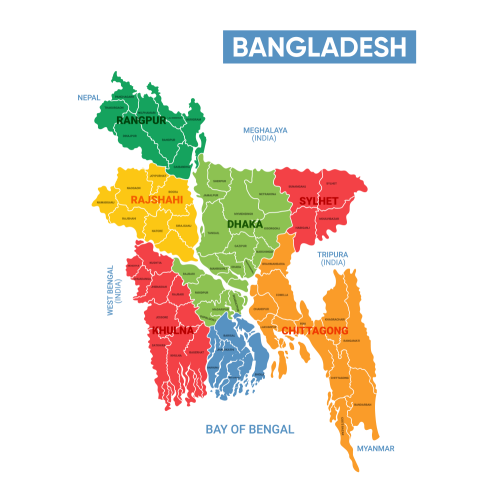
Colorful Map of Bangladesh Highlighting Regions and Borders
A detailed map of Bangladesh showcasing its divisions and neighboring areas, vividly colored and clearly labeled, illustrating geographical and political boundaries in the region.
Tags
map bangladesh bangladesh map map png png map country country map bangladesh map svg bangladesh map png flag geography nation landmark vector illustration design asia region border location detailed map tourism citiesYou may also like

World map png transparent image
by PNGStar
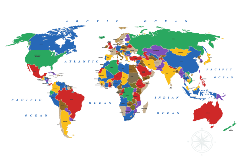
World map png transparent image free download
by PNGStar
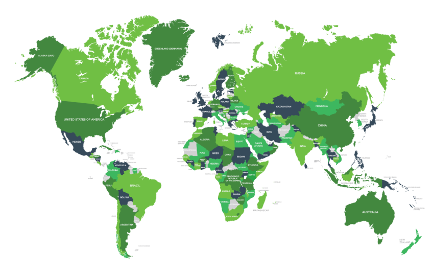
Green world map png transparent image
by PNGStar
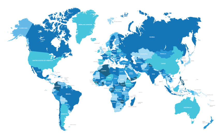
Blue world map png transparent image
by PNGStar
World map silhouette png
by PNGStar
World Map Silhouette Png
by PNGStar
Afghanistan Map Silhouette Png
by PNGStar
Albania Map Silhouette Png
by PNGStar

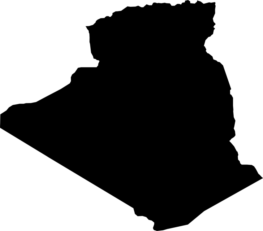
Algeria Map Silhouette Png
by PNGStar
Angola Map Png Image
by PNGStar


adas
1,550 Photos
-
694
-
0
-
36
Featured on
Jun 22, 2025
License and Use
Free for commercial use No attribution required- Details
- Photo type PNG
- Category Maps
- Subcategory Country Maps
- File size 1MB