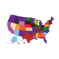

Coded Map of the United States Showing Regional Divisions
Map of the United States with each state uniquely colored, highlighting regional differences across the country. Ideal for geography, logistics, education, or administrative purposes.
Tags
united state united state map map map png usa usa map united state map svg svg svg map outline blank boundaries reagion mapping png png mapsYou may also like

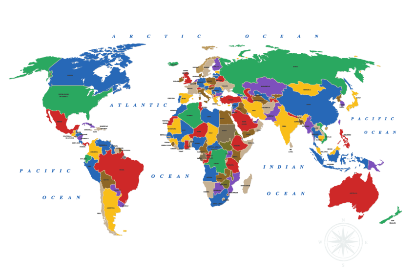
World map png transparent image
by PNGStar
World map png transparent image free download
by PNGStar
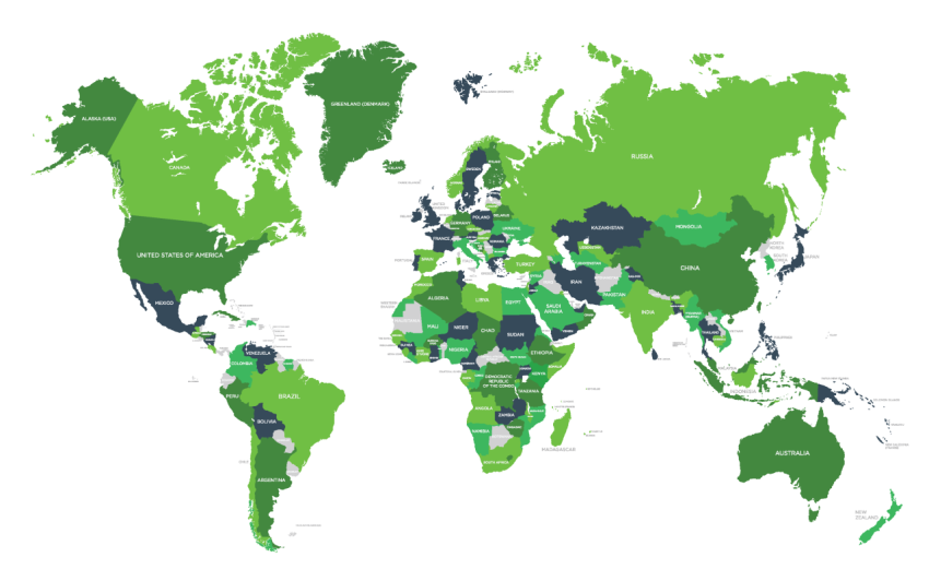
Green world map png transparent image
by PNGStar
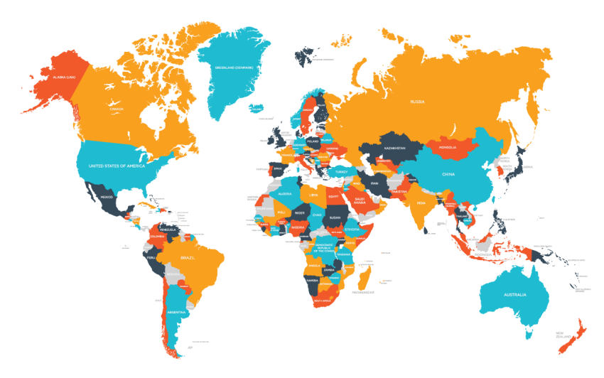
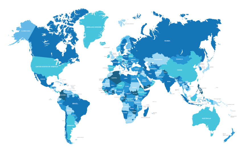
Blue world map png transparent image
by PNGStar
World map silhouette png
by PNGStar
World Map Silhouette Png
by PNGStar
Afghanistan Map Silhouette Png
by PNGStar
Albania Map Silhouette Png
by PNGStar

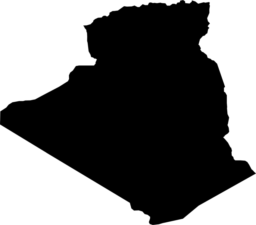
Algeria Map Silhouette Png
by PNGStar
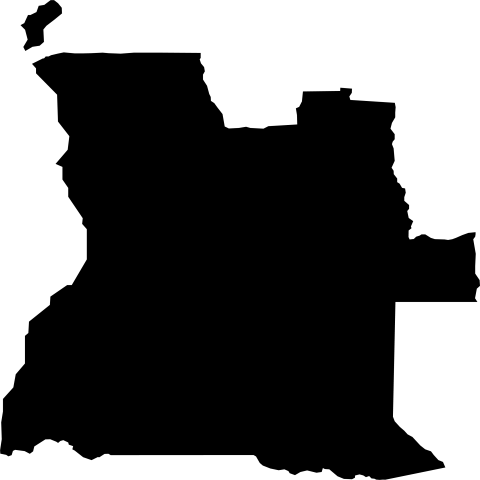
Angola Map Png Image
by PNGStar

adas
1,550 Photos
-
315
-
0
-
2
Featured on
Jun 22, 2025
License and Use
Free for commercial use No attribution required- Details
- Photo type PNG
- Category Maps
- Subcategory Country Maps
- File size 303.1kB